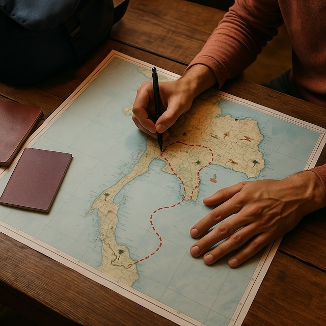
Maps of Thailand: discover a unique selection of plans and maps to explore the Kingdom of Siam from every angle. Whether you’re looking for a general overview of the country, a neighborhood map of Bangkok, or a detailed map of an island like Koh Samui, this guide gives you access to reliable resources to organize your adventures, prepare your itineraries, and travel with peace of mind. All the maps offered here are designed to suit your needs, whether you’re going on a road trip, with family, or backpacking.
Essential Maps of Thailand: A Quick Overview
- General overview: to easily plan your main stages and identify the principal regions.
- Tourist map: ideal for locating must-see sites, from temples to floating markets.
- City maps: useful for navigating the bustling districts of Bangkok, Chiang Mai, or Phuket.
- Islands and beaches: to find secret coves and plan your days of relaxation.
- Printable maps: practical for those traveling without a connection or exploring on two wheels.
Find all the direct links to the most useful maps below, categorized by type and destination.
General Maps to Start Your Trip
| Map Type | What You Can Do With It | Access |
|---|---|---|
| Complete map (cities, roads, regions) | Plan your route, visualize distances and main connections | View |
| Map of airports and seaside resorts | Locate your arrival point and nearby beaches | View |
| Tourist map of Thailand | Explore iconic places: temples, markets, natural sites | View |
| Provinces map (colors) | Identify provinces by color and locate their position | View |
| Administrative map of provinces | Locate provinces, their capitals, and regional borders | View |
Where is Thailand on the World Map?

Located in the heart of Southeast Asia, Thailand shares its borders with Myanmar, Laos, Cambodia, and Malaysia. The country extends from the mountainous north to the southern beaches, bordered on the east by the Gulf of Thailand and on the west by the Andaman Sea. On a world map, Thailand is easily found between Vietnam, southern China, and Indonesia.
- Continent: Asia
- Area: approximately 513,000 km²
- Capital: Bangkok
- Neighboring countries: Myanmar, Laos, Cambodia, Malaysia
To see the exact location, check out this world map with Thailand highlighted or a global satellite view.
Exploring Cities: Maps and Tips
| City / Region | Available Map | Discover |
|---|---|---|
| Bangkok | Districts, transport, markets, parks like Lumphini Park | Bangkok Maps |
| Chiang Mai | Tourist map, historic center | View |
| Phuket | Tourist map, beaches, town center | View |
| Krabi | Beaches, islands, limestone cliffs | Krabi Guide |
| Kanchanaburi | River Kwai, National Parks | River Kwai Guide / Erawan Park |
| Lopburi | Historic city center | Lopburi Guide |
Bangkok Transport Map (BTS/MRT)
To get around Bangkok efficiently, it’s essential to understand its main rapid transit systems. While there are several networks like the Skytrain (BTS) and the metro (MRT), using a single, comprehensive map like the one below is the easiest way to navigate. It is the best reference for viewing all the networks together: the BTS Skytrain (Sukhumvit and Silom lines), the MRT (Blue and Purple lines), the Airport Rail Link to Suvarnabhumi Airport, as well as the newer monorail and train lines. For shorter distances, many travelers also enjoy using the iconic Tuk-tuks.

Practical tips for using the map:
- Key interchange stations: Look for Siam to switch between the two BTS lines, and Asok (BTS) / Sukhumvit (MRT) to easily transfer between networks.
- Access to attractions: Saphan Taksin (BTS) station connects you to the shuttle boats on the Chao Phraya River for visiting the temples. Sanam Chai (MRT) station drops you right next to the Grand Palace and Wat Pho.
- Easy travel: For simplicity, buy a single rechargeable card (like the Rabbit Card or MRT Card, with cross-network compatibility always improving) to travel smoothly.
Tip: To avoid getting lost, always download the city map before you go or opt for an offline GPS app.
Islands and Beaches: Find the Right Map for Your Travel Style
| Island | Map Type | Access |
|---|---|---|
| Koh Samui | Samui/Phangan/Tao: map, beaches, tourist | View |
| Koh Phangan | Tourist map, Hat Rin | View |
| Koh Tao | Tourist map, beaches | View |
| Koh Lanta | Tourist map, Kantiang Bay, Long Beach | View |
| Koh Chang | Tourist map | View |
| Koh Samet | Tourist map | View |
| Koh Larn | Tourist map | View |
| Phuket | Patong, tourist map, regional map | View |
Tip: To find a secluded beach or organize a boat trip, print the island map or download it to your mobile before you leave.
Practical Tips & Frequently Asked Questions
What is the best Thailand road map to print?
For Northern Thailand, many travelers swear by the GTR (Golden Triangle Rider) map for its incredible detail on mountain roads and points of interest. For other regions, a general road map combined with real-time apps like Google Maps or Waze is the best combination. Always have an offline map as a backup.
Where can I get free physical maps in Thailand?
You can easily find free physical maps upon arrival. Check the tourist information counters at major airports (like Suvarnabhumi Airport in Bangkok), your hotel or guesthouse reception, and official Tourism Authority of Thailand (TAT) offices. Most national parks also provide a basic map of their trails at the entrance.
What is the best map app for driving vs. hiking?
It depends on your activity. For driving, Google Maps and Waze are excellent for real-time traffic and navigation. For hiking and offline use in remote areas, Organic Maps and Maps.me are superior as they use detailed OpenStreetMap data and work flawlessly without an internet connection. You can also find dedicated offline map apps on the Play Store or App Store.
Is there a map of all national parks in Thailand?
There isn’t a single official map showing all of Thailand’s 150+ national parks in high detail. However, you can find overview maps on the Department of National Parks website. For visitors, the best approach is to use a general Thailand map to locate the parks, then get a detailed trail map at the park’s visitor center upon arrival, as we mentioned for places like Erawan National Park.
How can I save a map for offline use?
Open the map link, then right-click on the image to “Save Image As…” to download the JPG or PNG file. For PDF files, you can simply download them. You can also take a screenshot on your phone.
Mobile Apps and Alternative Resources
- Organic Maps: open-source, reliable, works offline.
- Maps.me: ideal for hiking or exploring on foot.
- Google Maps: convenient, but remember to download the area before you go.
- OpenStreetMap: collaborative maps, often very up-to-date.
Conclusion
With these maps of Thailand in hand, every traveler can plan their route, avoid tourist traps, and discover places off the beaten path. Remember to check our other practical resources to prepare for a tailor-made trip.